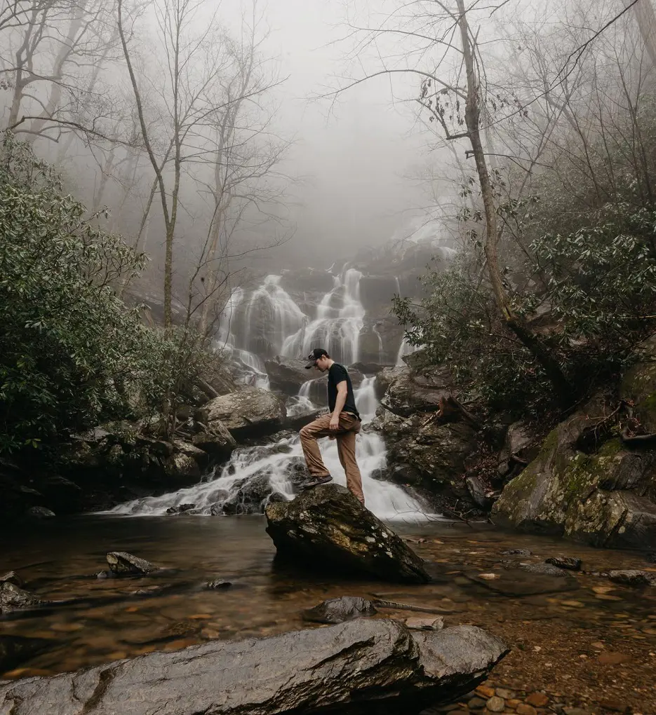
Sacramento city offers good hiking options, and various significant landscapes help define the capital city, including the American River, which flows on the north side of town.
With Jedediah Smith Memorial Trail being the most popular, there are plenty of other trails that you can visit like North Natomas Loop, River Bend Park Riverside Loop, Capitol Park Loop Trail, McKinley Park Loop, etc. Hence, in this article, we have listed the 20 best trails and hikes in Sacramento.
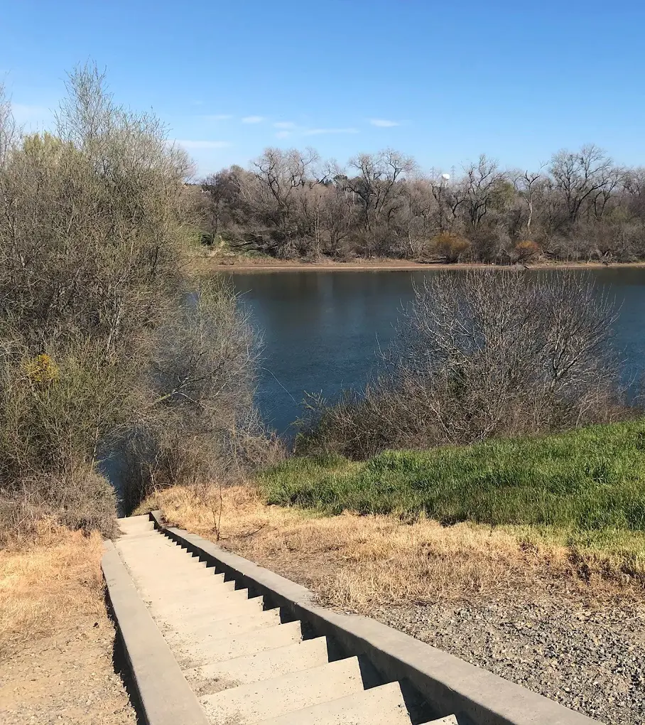
1. North Natomas Loop
- Distance: 4.0 km
- Elevation Gain: 6 m
- Route Type: Loop
- Dog-friendly: Yes
- Difficulty Level: Easy
A short walk and worth visiting place near Sacramento, California that is suitable for every age group. A great place to walk with the family enjoying the natural beauty and some wildlife sightings that enhance the overall experience. This place has a wide enough path which is easily accessible using mobility equipment as well.
Easy to park condition and usually less crowded making an appropriate environment to enjoy the trail. The beautiful lake view is the main attraction point and has a lot more to offer you.
2. River Bend Park Riverside Loop
- Distance: 5.3km
- Elevation Gain: 15m
- Route Type: Loop
- Dog-friendly: Yes
- Difficulty level: Easy
It is a beautiful park by the side of the American River that consists of various paved and unpaved trails suitable for hiking walking and biking. The place is a mix of shade and sun exposure and has great conditions to make your day special and memorable.
An entry fee is mandatory to enter the place however you will need to pay for the parking. Usually, the place isn’t quite crowded and also you should not face bathroom difficulties here. Dogs are allowed however don’t forget to keep them on a leash.
3. Jedediah Smith Memorial Trail
- Distance: 52.0 km
- Elevation Gain: 280 m
- Route Type: Point-to-point
- Dog Friendly: Yes
- Difficulty Level: Easy
Among the easiest trails, is the Jedediah Smith Memorial Trail which is also known as the American River Bike Trail is nicely paved and is used for different purposes like Bike trails, running, hiking, horseback riding, etc. Though it has a very easy route it takes a bit less than 10 hours to finish.
Nevertheless, the trail is very satisfying and you can also see the beautiful view of the river from there. The trail starts from Discovery Park in downtown Sacramento and concludes in Beal's Point in Folsom which is 31 miles out.
4. Capitol Park Loop Trail
- Distance: 1.8 km
- Elevation Gain: 0 m
- Route Type: Loop
- Dog Friendly: Yes
- Difficulty Level: Easy
The Capitol Park Loop Trails is a gorgeous park that presents the Capitol building, a cacti garden, war memorials, 100 various types of trees along with a world peace rose garden and fountain. There are lots of shaded places where you can enjoy a picnic or sit.
This trail is a must-hike if you are around Sacramento and thinking of hiking. At the south end of the trail, there is no less than one designated available space on the paved street off Lincoln Highway.
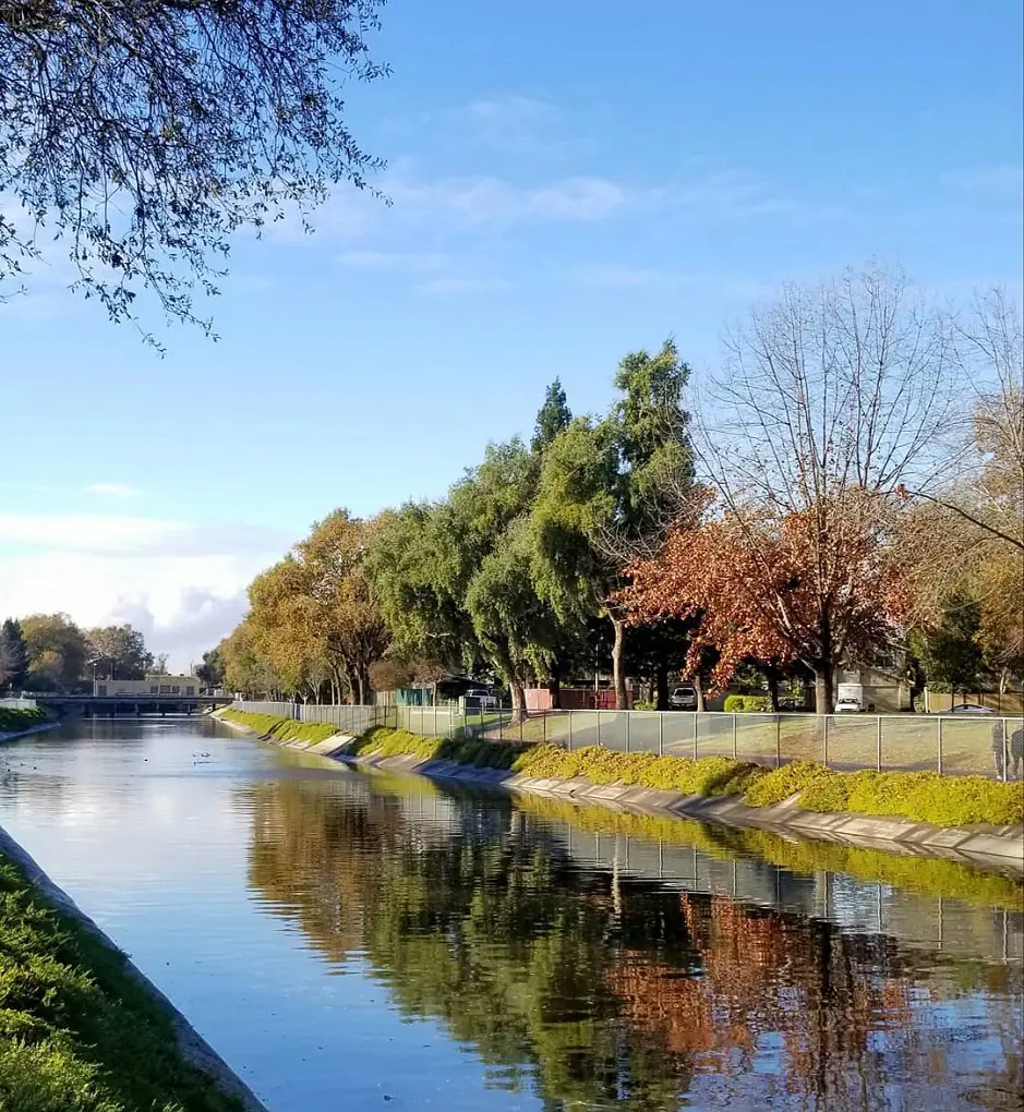
5. Sacramento River Parkway Trail
- Distance: 15.3 km
- Elevation Gain: 38 m
- Route Type: Out & back
- Dog Friendly: Yes
- Difficulty Level: Easy
Sacramento River Parkway Trail is a renowned long paved trail for cycling, walking, running, and riverside recreation. The paved parking area off Riverside Boulevard at the trail's south terminus has two designated accessible spaces. Both are vehicle accessible, with striped access aisles.
The trail is coated with asphalt and is smooth. The entire path is expected to be in the mild category. Most wheelchair/mobility device or stroller users will likely be able to navigate this course.
6. William Land Park Loop

- Distance: 3.7 km
- Elevation Gain: 6 m
- Route Type: Loop
- Dog Friendly: Yes
- Difficulty Level: Easy
A pleasant two-mile loop with a lovely rock garden, ponds, and sports fields, very near to the Zoo and Fairytale Town. The path that runs along the bike lanes is paved, whereas the sidewalk loop is primarily uneven gravel. The paved parking area off 15th Avenue near the west end of the walk has eight designated accessible spaces.
They are all van accessible, with striped access pathways. The trail surface is paved with asphalt or concrete. It is usually at least three feet wide, with occasional wider passing areas. For the majority of the trail, the route follows a painted bike lane on the side of the road.
7. McKinley Park Loop
- Distance: 1.6 km
- Elevation Gain: 2 m
- Route Type: Loop
- Dog Friendly: Yes
- Difficulty Level: Easy
The Mckinley Park Loop is a short and easy trail as it takes less than 20 minutes to complete. This is an excellent family-friendly loop around a nearby suburban park. The route is primarily aggregated and slightly paved.
Likewise, there are numerous excellent spots to rest, picnic, and observe the park's wildlife. The park also features a rose garden with informative signs and nicely groomed rose bushes.
8. Gateway Oaks Trail
- Distance: 5.6 km
- Elevation Gain: 9 m
- Route Type: Out & back
- Dog Friendly: Yes
- Difficulty Level: Medium
The Gateway Oaks Trails is a moderately challenging path that takes around 1 hour to complete is 3.4 miles long journey. This is a paved trail and it runs north of the Sacramento River alongside a minor brook. The trail begins at Natomas Oak Park and leads to Peregrine Park.
It links with the Fisherman's Lake Trail at the trail's northern end. This trail ought to be reachable to those who use wheelchairs, mobility equipment, or strollers.
9. Levee Path
- Distance: 5.6 km
- Elevation Gain: 24 m
- Route Type: Out & back
- Dog Friendly: Yes
- Difficulty Level: Easy
The Levee Path is 3.4 miles long quite an easy trail with just over 24 meters of uphill to climb. It takes no more than 1 hour to complete the Levee path and it is a dog-friendly trail but it is suggested to keep them on a leash all the time.
The trail is not often being used, so it's great for avoiding crowds and enjoying the tranquility. This trail is ideal for walking, biking, and jogging.
10. Seymour Park Trail
- Distance: 6.0 km
- Elevation Gain: 8 m
- Route Type: Out & back
- Dog Friendly: Yes
- Difficulty Level: Easy
The Seymour Park Trail is a paved trail that joins the Pocket Canal Parkway Trail and the Sacramento River Trail. There are no authorized accessible parking places along Clipper Way at the trail's north end but there is made easier streetside parking.
The trail surface is nicely paved as well as flat and is normally 4 to 6 feet wide, with some wider passing areas. This is another easy trail that takes about 1 hour to complete and yes, it is a dog-friendly trail but for the safety of other visitors and the dog itself, it is advised to keep them on a leash.
11. Laguna Trail and North Laguna Creek Parkway Loop
- Length: 6.6 km
- Elevation Gain: 9 m
- Route Type: Loop
- Dog Friendly: Yes
- Difficulty Level: Moderate
The Laguna Trail and North Laguna Creek Parkway Loop is quite a challenging route with around 9 meters of uphill climb and it takes a little more than one hour to complete the trail as it is 4.1 miles long.
Hence, the Laguna Verde Park is a gorgeous community park with a small pond and beautifully paved roads. It begins from the park itself and goes through the bike paths which are nicely paved. Don't forget to take water bottles with you as you might get dehydrated because of very little shade.
12. Garden Highway Bike Trail to Witter Way
- Distance: 17.1 km
- Elevation Gain: 21 m
- Route Type: Out & back
- Dog Friendly: Yes
- Difficulty Level: Moderate
The Garden Highway Bike Trail to Witter Way is a 10.6-mile-long trail and this moderately difficult route takes around 3 hours to complete. As the name suggests it is not just limited to road biking but also for hiking, mountain biking, etc.
The Garden Highway Bike Trail begins at Natomas Oaks Park which is on the Sacramento River, followed by passing the forests prior to linking up to the Gateway Oaks Trail. Moreover, Del Paso Road is where the trail concludes.
13. Natomas Bike Path
- Distance: 14.2 km
- Elevation Gain: 24 m
- Route Type: Out & back
- Dog Friendly: Yes
- Difficulty Level: Easy
An easy trail, the Natomas Bike Path is an 8.8-mile-long journey with about 24 meters of uphill to climb, and to complete this trail, it should take around 2 hours and 30 minutes if you hike without wasting much time.
The trail is also common for road biking, walking as well as running. As it is a dog-friendly trail, dog owners are requested to keep their pets leashed for safety reasons.
14. Sutters Fort Loop
- Distance: 0.6 km
- Elevation Gain: 1 m
- Route Type: Loop
- Dog Friendly: Yes
- Difficulty Level: Easy
This quick little Sutters Fort Loop which takes no more than 10 minutes is a 0.3-mile length and is very easy difficulty-wise. You will see a lot of people coming here for a walk, and jogging as it is a pretty common trail.
The trail allows dogs on a leash and is also a kid-friendly trail. This is one of the best trails if you require some fresh air and a good time with close ones.
15. Sacramento Waterfront Trail
- Distance: 14.5 km
- Elevation Gain: 32 m
- Route Type: Out & back
- Dog Friendly: Yes
- Difficulty Level: Easy
Sacramento Waterfront Trails is another very easy trail but is quite a lengthy trail of 9.0 miles and has 32 meters of uphill climb. It takes about 2 hours and 40 minutes to complete it. It is a good trail for a family but not suggested for solo travelers as many secluded areas might not be safe, especially for females.
Likewise, this trail is dog-friendly but keep them on a leash to make other visitors comfortable, and since you can also encounter other stray dogs whose you won't have control over, it is important to keep your dog leashed.
16. Pocket Canal Parkway
- Distance: 5.0 km
- Elevation Gain: 6 m
- Route Type: Loop
- Dog Friendly: Yes
- Difficulty Level: Easy
This calming and relaxing trail the Pocket Canal Parkway is easy and takes no more than 1 hour in total to complete. The 3.1-mile-long trail has 6 meters of uphill climb.
Like other trails on this list, this trail also allows leased dogs as it is dog-friendly and it is accessible to visitors who use wheelchairs or strollers. Talking about parking, they have allocated 6 accessible parking spaces, and 6 van-accessible parking spaces with a nicely paved parking surface.
17. Land Park Small Loop
- Distance: 1.6 km
- Elevation Gain: 2 m
- Route Type: Loop
- Dog Friendly: Yes
- Difficulty Level: Easy
Land Park Small Loop as its name suggests is a small loop that takes less than 20 minutes to complete. This is a residential loop that winds around the green fields and trees in the northern part of Land Park.
At the south end of the route, in the paved street parking off 13th Avenue, there don't seem to be any marked accessible places.
At the south end of the route, there is a paved parking lot off 15th Avenue that has seven places that are classified as accessible. They are all van-accessible and have access aisles that are striped.
18. Curtis Park Loop
- Distance: 1.8 km
- Elevation Gain: 4 m
- Route Type: Loop
- Dog Friendly: Yes
- Difficulty Level: Easy
Another short hike of just 1.1 miles is the Curtis Park Loop, which doesn't take more than 30 minutes to complete. It is among the popular trails not just for hiking but for running as well. Even though it's quite common, you can still come here for some relaxation during the quieter times of the day when the sun comes out.
The trail is a dog-friendly trail but do not forget to keep them on a leash for safety purposes and any time of the year is the perfect time to visit here as it is open through the year.
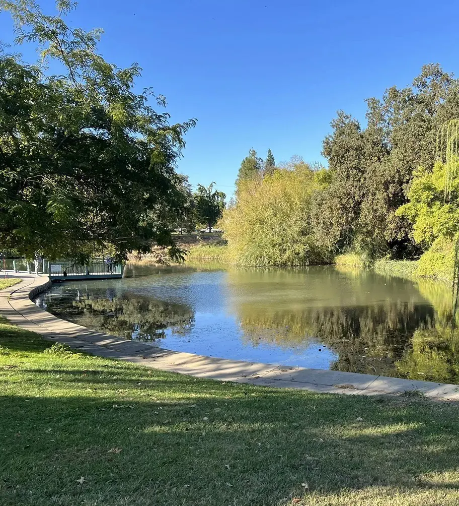
19. Howe Pond Loop
- Distance: 1.0 km
- Elevation Gain: 4 m
- Route Type: Loop
- Dog Friendly: Yes
- Difficulty Level: Easy
Howe Pond Loop is a community park that is enjoyable for the entire family. It has paved walking trails, a playground, a community center, sports fields, and whatnot. This asphalt and concrete track is believed to be at least 5 feet wide. This path passes through some grassy parts, but it is feasible to continue on firm pavement throughout the park.
There are numerous more connected concrete routes, so the loop may be made shorter or longer as needed. The paved trailhead lot has 5 designated wheelchair-accessible parking places with access lanes.
20. Sutters Fort Loop
- Distance: 0.6 km
- Elevation Gain: 1 m
- Route Type: Loop
- Dog Friendly: Yes
- Difficulty Level: Easy
The Sutter's Fort Loop is a beautiful, short hike of less than 10 minutes. There are plenty of shady locations to sit and rest, and it's a nice place for a picnic too. There is a fee to enter the fort.
It is uncertain whether any designated accessible parking spaces exist along K Street at the trail's northern end. There is paved streetside parking. The trail pavement is normally 5 feet wide and made of hard gravel and paved. There are benches along the trail where you can rest.